When we first purchased the property, the land parcels which came with it were all labelled and sized on the local Cadastrale map. In total 19000m2 (1.9 hectares), this figure meant little to us, but converted to approximately 5 acres.
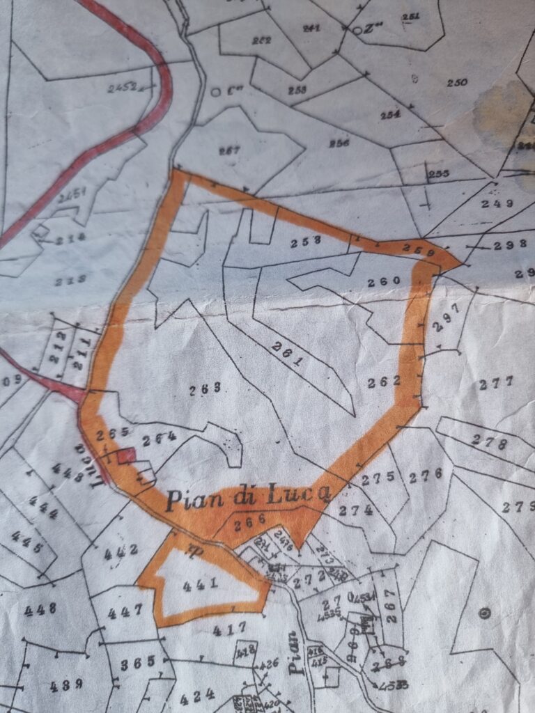
Apparently it is divided into different categories – habitation, garden, pastoral, woodland, wild.
But how does a shape on a map equate in actual life, does the angle of descent have any effect, and how can we tell, when much of the land is covered in dense undergrowth, on steep slopes and with the threat of somewhat dangerous creatures lurking.

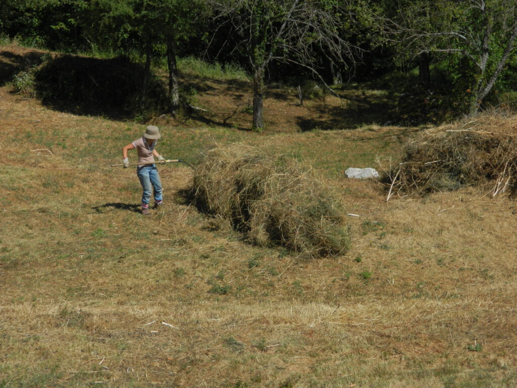
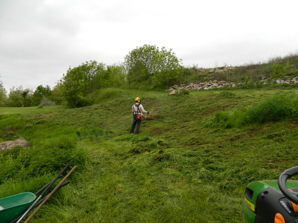
We never had any kind of plan, but basically began exploring and clearing from the house outwards.
I spent much time studying our Cadastrale plan, and trying to match up the different land shapes of the parcels of land.

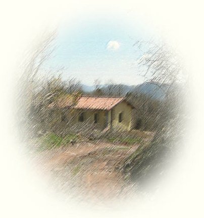
The habitation was obvious, a small square representing the house. There was also the footprint of another house adjacent to ours, but it had been completely cleared, and there was no evidence of it at all.
Eventually after we had cleared much of the land, it became clear, that at some point in the past, the land had been terraced, and as we looked around at other land in the area, we realised it was the same there.

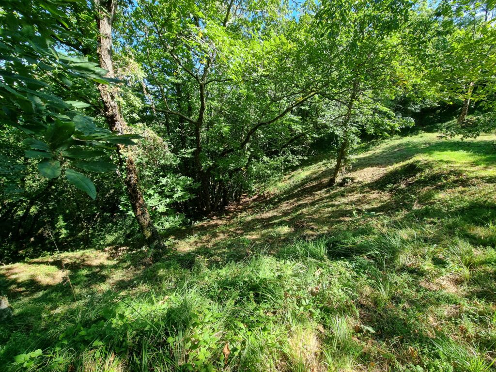


We have discovered that there is no uniformity to the terraces, they are all different heights, depths and lengths.
They have to accommodate to some extent the geography. If the land is too steep, there is no terrace. The ‘flat’ areas on top are rarely completely flat, some are sloped, others have more than one level, there may be large rocks or trees growing in them, and the ever-present wild boar can completely destroy the shape, if they decide to dig deep.
However on discovering the general pattern of the terraces, they become easier to work with.
As I can no longer remember exactly when each piece of land was cleared, I shall try and work my way around, top down.
Top Level
Front Approach and Lawn
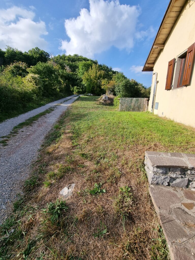
There is a small strip of land at the highest point, along the line of the track, which we keep mown, and acts as a ‘front lawn’. The area over the ‘shed’ was grassed and is included in this, as is the front fence.


House, Pool,
and Service Area
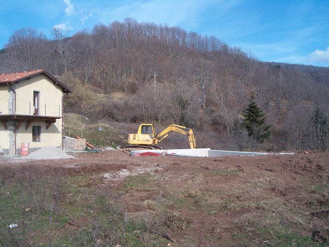
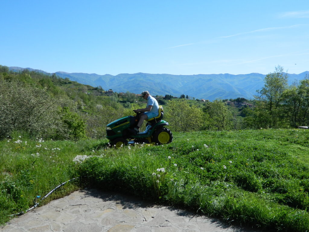
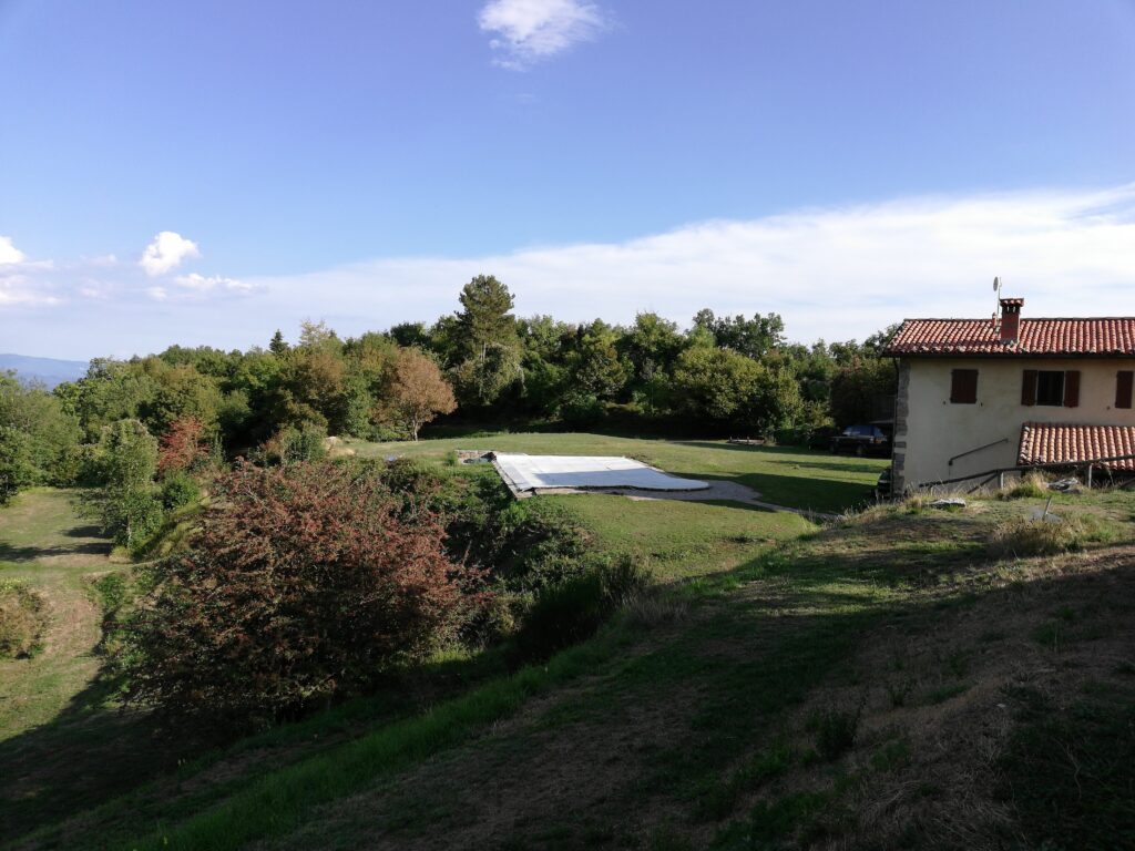
The largest area on the same level as the house when we arrived was a flat mountain meadow, covered in spring flowers. This is where we put the pool, and for several years was churned up by the effects of renovation work on the house, and installation of the pool. It became something of a building site/ playground, and to begin with, we ventured little further than this. As the building work was completed, it was levelled and grass seed laid down. Now we try and keep it mown, but the grass soon grows whilst we are away. In spring it is a beautiful green, but as the summer progresses, often turns into a dust bowl. However it never takes the grass long to return to green following rain.


Old Ruin Boundary
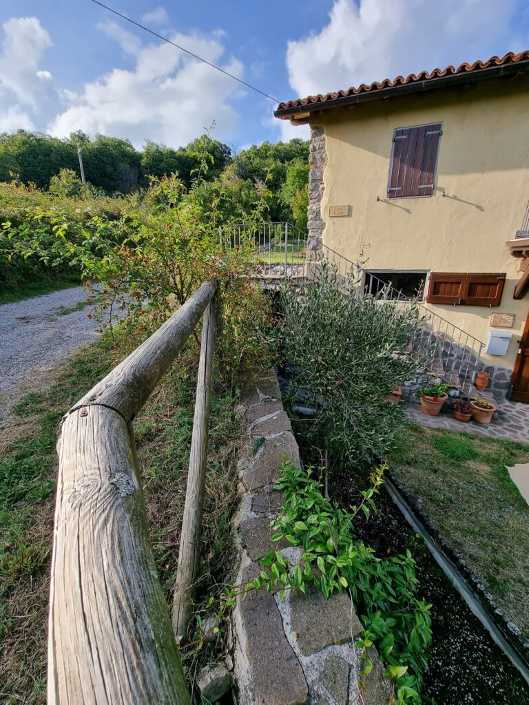
Southern boundary along track, then becomes boundary with neighbouring property.


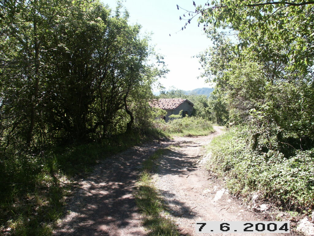
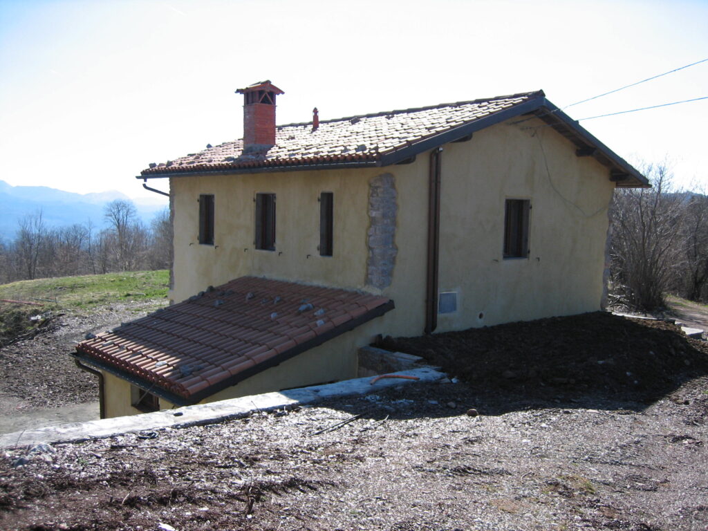
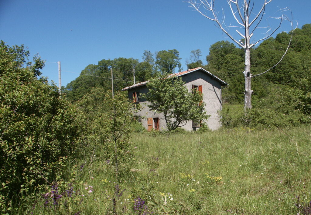
Further along the lane, on our boundary, were a couple of derelict houses, which have further decayed as the years have passed. We have tidied up the boundary slopes, and worked our way around the perimeter of the land of this property to gradually clear further.
Hunters Hut Level


Having ventured into the ‘Secret Garden’, I began to push my way through various undergrowth, to discover an unusual ‘hut’. It was about 75cm high, with an entrance at the front. It contained some odd remains, such as lino on the ground, an old pair of shoes, and other oddments. Perhaps it was a child’s den, but it was pretty remote, and surrounded by blackthorn. It is most likely to have been a hunters ‘hide’.
Solar Panel Bowl
Secret Garden
and Woodland Terrace
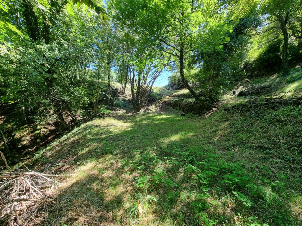
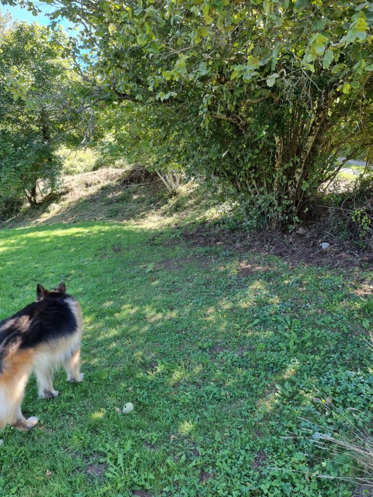
This was one of the first areas we ventured into, having to step over fallen trees and shrubs, on breaking through we found a grassy wooded area, which we gave the name ‘The Secret Garden’.
Mountain Maple Bowl
and Woodland Terrace 2
First Steep Path Down
Autumn Crocus Walkway
Wild Flower Meadow
Long Holm Oak Path
Hawthorn Bowl
and Pear Tree Walk
The Wall
and Higher Terraces
Gnarled Blackthorn Level
Grassy Knoll and Holm Oak Knoll
Henman Hill
Under Pool Bank
Highest Bank
Under Pool Level
Cherry Tree Walk
Apple Tree Bowl
Walnut Tree Bowl
Bank into the woods
Hazlenut Tree Grove
Fairy Glen
Disused Public Pathway
Cabin Level
Fir Tree Walk
Marks Birthday Bench
Wild Boundary Bank
Walnut Tree Bank
Grassy Terraces
Walkway to Walnut Bowl
Chestnut Tree Hump
A high grassy semi-circular bank, with an enormous mature chestnut tree on top. There is mountain grass on the bank, which needs checking and snipping of brambles, rose and blackthorn shoots before they get too big.